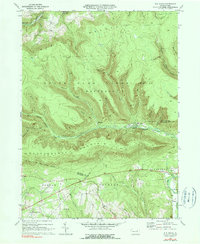
1969 Map of Elk Grove
USGS Topo · Published 1990About this map
North Mountain and the high plateaus of the Endless Mountains dominate this landscape, where the confluence of several mountain runs forms the headwaters of the West Branch Fishing Creek. This 1969 survey reveals a remote forest environment defined by narrow valleys and the expansive State Game Lands No 13. Settlement is sparse, concentrated primarily along the creek banks at small locales like Elk Grove and Emmons.
Find a feature on this map
58 named features on this map. Tap any name to fly to it.
Don’t see what you’re looking for? This feature index may not catch every label — zoom into the map to look around manually.
Map Details
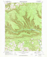
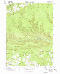
Editions of this 1969 Elk Grove Map
3 editions found
Other maps of this area

1894 · Bloomsburg
USGS Topo · 1:62,500

1927 · Eagles Mere
USGS Topo · 1:48,000

1932 · Eagle Mere
USGS Topo · 1:62,500

1934 · Laporte
USGS Topo · 1:62,500

1935 · Hughesville
USGS Topo · 1:62,500

1947 · Stillwater
USGS Topo · 1:24,000

1947 · Benton
USGS Topo · 1:31,680
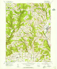
1953 · Benton
USGS Topo · 1:24,000

1953 · Hughesville
USGS Topo · 1:62,500

1953 · LaPorte
USGS Topo · 1:62,500
Featured Places
- Jackson Township, PA
- Pine Township, PA
- Davidson Township, PA
- Divide, Jackson Township
- Emmons, Davidson Township