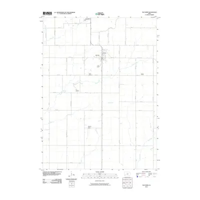
2010 Map of Elk Horn
USGS Topo · Published 2010About this map
The settlement of Elk Horn and the nearby village of Kimballton anchor this corner of Shelby County, reflecting the deep-rooted Danish heritage of the western Iowa landscape. The terrain is defined by a dendritic network of waterways, including Indian Creek in the northwest and Elkhorn Creek winding through the center, which have historically shaped the region's agricultural development.
Find a feature on this map
41 named features on this map. Tap any name to fly to it.
Don’t see what you’re looking for? This feature index may not catch every label — zoom into the map to look around manually.
Map Details
Editions of this 2010 Elk Horn Map
This is the sole edition of this map. No revisions or reprints were ever made.
Other maps of this area

1954 · Omaha
USGS Topo · 1:250,000

1957 · Omaha
USGS Topo · 1:250,000

1957 · Audubon
USGS Topo · 1:62,500

1958 · Omaha
USGS Topo · 1:250,000

1971 · Walnut
USGS Topo · 1:24,000

1971 · Wiota
USGS Topo · 1:24,000

1971 · Atlantic
USGS Topo · 1:24,000

1978 · Elk Horn
USGS Topo · 1:24,000

1978 · Kimballton
USGS Topo · 1:24,000

1978 · Prairie Rose Lake
USGS Topo · 1:24,000