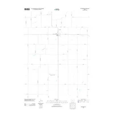
2013 Map of Elk Horn
USGS Topo · Published 2013About this map
Elk Horn anchors this Shelby County landscape, a community defined by its precise grid of streets such as Tivoli St, Park St, and Washington St. The surrounding terrain is heavily partitioned by an extensive township road network, including Yellowwood Rd and Co Rd-F58, which facilitates movement between the numerous agricultural plots that dominate the quadrangle. This 2013 survey illustrates the continued importance of the region's hydrological system, with Indian Cr and Elkhorn Cr carving drainage patterns through the farmland. Aviation presence is noted at the Wheatley Farms Airport located south of the main settlement. The map serves as a detailed record of rural land management in the early twenty-first century, showing the intersection of natural waterways like Squaw Cr and Camp Cr with the rigid human-imposed geometry of the Iowa countryside.
Find a feature on this map
51 named features on this map. Tap any name to fly to it.
Don’t see what you’re looking for? This feature index may not catch every label — zoom into the map to look around manually.
Map Details
Editions of this 2013 Elk Horn Map
This is the sole edition of this map. No revisions or reprints were ever made.
Other maps of this area

1954 · Omaha
USGS Topo · 1:250,000

1957 · Omaha
USGS Topo · 1:250,000

1957 · Audubon
USGS Topo · 1:62,500

1958 · Omaha
USGS Topo · 1:250,000

1971 · Walnut
USGS Topo · 1:24,000

1971 · Wiota
USGS Topo · 1:24,000

1971 · Atlantic
USGS Topo · 1:24,000

1978 · Elk Horn
USGS Topo · 1:24,000

1978 · Kimballton
USGS Topo · 1:24,000

1978 · Prairie Rose Lake
USGS Topo · 1:24,000