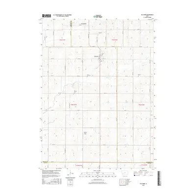
2015 Map of Elk Horn
USGS Topo · Published 2015About this map
Elk Horn and Kimballton anchor this section of the western Iowa plains, where the rolling landscape is defined by the headwaters and tributaries of several prominent creeks. The terrain is divided into a strict section-line grid, typical of the Midwestern agricultural tradition, with secondary roads like Yellowwood Rd and Bluebird Ave following these established boundaries. The map highlights the Danish heritage of the area through its proximity to local settlements and several dedicated burial grounds, including the Elk Horn Cem and the Carlsen-Larsen Cem.
Find a feature on this map
59 named features on this map. Tap any name to fly to it.
Don’t see what you’re looking for? This feature index may not catch every label — zoom into the map to look around manually.
Map Details
Editions of this 2015 Elk Horn Map
This is the sole edition of this map. No revisions or reprints were ever made.
Other maps of this area

1954 · Omaha
USGS Topo · 1:250,000

1957 · Omaha
USGS Topo · 1:250,000

1957 · Audubon
USGS Topo · 1:62,500

1958 · Omaha
USGS Topo · 1:250,000

1971 · Walnut
USGS Topo · 1:24,000

1971 · Wiota
USGS Topo · 1:24,000

1971 · Atlantic
USGS Topo · 1:24,000

1978 · Elk Horn
USGS Topo · 1:24,000

1978 · Kimballton
USGS Topo · 1:24,000

1978 · Prairie Rose Lake
USGS Topo · 1:24,000