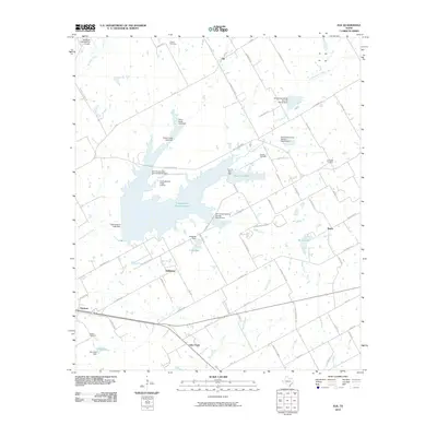
2010 Map of Elk
USGS Topo · Published 2010About this map
Tradinghouse Creek Reservoir dominates the central landscape of this McLennan County region, serving as a focal point for the surrounding rural communities. The map depicts a network of small settlements and agricultural hubs, including the eponymous Elk, Hallsburg, and Battle. A distinct water management infrastructure is evident through numerous Soil Conservation Service structures and local dams, such as Wilbanks Dam and the City of Mart Dam near New Lake Mart.
Find a feature on this map
80 named features on this map. Tap any name to fly to it.
Don’t see what you’re looking for? This feature index may not catch every label — zoom into the map to look around manually.
Map Details
Editions of this 2010 Elk Map
This is the sole edition of this map. No revisions or reprints were ever made.
Other maps of this area

1892 · Temple
USGS Topo · 1:125,000

1892 · Waco
USGS Topo · 1:125,000

1920 · Waco
USGS Topo · 1:125,000

1920 · Mart
USGS Topo · 1:62,500

1931 · Elm Mott
USGS Topo · 1:62,500

1954 · Waco
USGS Topo · 1:250,000

1955 · Waco
USGS Topo · 1:250,000

1956 · Axtell
USGS Topo · 1:24,000

1956 · Mart
USGS Topo · 1:24,000

1957 · Prairie Hill
USGS Topo · 1:24,000