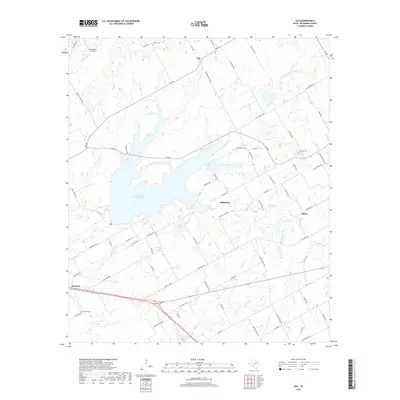
2019 Map of Elk
USGS Topo · Published 2019About this map
Tradinghouse Creek Reservoir and the adjacent New Lake Mart dominate the central landscape of this McLennan County region, reflecting the significant water management and recreation infrastructure east of Waco. The settlement of Hallsburg sits just south of the reservoir, while the community of Elk is situated to the north along Elk Rd. This modern survey reveals a countryside transition where agricultural roots meet residential expansion, connected by a network of rural routes like Old Sawmill Rd and Red Gate Rd. For those tracing family histories, several burial grounds are preserved across these acres, including Harper Cem, Pavelka Cem, Lone Oak Cem, and Goshen Cem. Further south, the map details the terrain around Battle and Harrison, where the land is drained by waterways such as Manos Cr and Brushy Cr. The presence of the Texas Valley Air Field in the northwest corner highlights the area's ongoing utility for local aviation.
Find a feature on this map
80 named features on this map. Tap any name to fly to it.
Don’t see what you’re looking for? This feature index may not catch every label — zoom into the map to look around manually.
Map Details
Editions of this 2019 Elk Map
This is the sole edition of this map. No revisions or reprints were ever made.
Other maps of this area

1892 · Temple
USGS Topo · 1:125,000

1892 · Waco
USGS Topo · 1:125,000

1920 · Waco
USGS Topo · 1:125,000

1920 · Mart
USGS Topo · 1:62,500

1931 · Elm Mott
USGS Topo · 1:62,500

1954 · Waco
USGS Topo · 1:250,000

1955 · Waco
USGS Topo · 1:250,000

1956 · Axtell
USGS Topo · 1:24,000

1956 · Mart
USGS Topo · 1:24,000

1957 · Prairie Hill
USGS Topo · 1:24,000