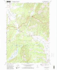
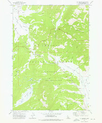
1972 Map of Elk Meadow
USGS Topo · Published 1984About this map
Elk Mountain dominates the central landscape of this Idaho interior, where the high-elevation basin of Elk Meadow transitions between the Challis National Forest and the Sawtooth National Recreation Area. The land use at the time of this early 1970s survey reflects a mix of primitive recreation and mountain administration, anchored by the Cap Horn Forest Service Station and a series of high-country campsites including the Sheep Trail Campground and Stanley Lake Campground.
Find a feature on this map
37 named features on this map. Tap any name to fly to it.
Don’t see what you’re looking for? This feature index may not catch every label — zoom into the map to look around manually.
Map Details
Editions of this 1972 Elk Meadow Map
2 editions found
Other maps of this area

1891 · Bear Valley
USGS Topo · 1:125,000

1893 · Bear Valley
USGS Topo · 1:125,000

1919 · Custer
USGS Topo · 1:125,000

1922 · Custer
USGS Topo · 1:125,000

1957 · Challis
USGS Topo · 1:250,000

1960 · Challis
USGS Topo · 1:250,000

1963 · Challis
USGS Topo · 1:250,000

1963 · Stanley
USGS Topo · 1:24,000

1963 · Basin Butte
USGS Topo · 1:24,000
1964 · Knapp Lakes
USGS Topo · 1:24,000