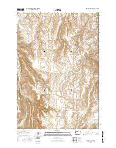
2017 Map of Elk Mountain SE
USGS Topo · Published 2017About this map
Deadman Gulch and the prominent rising elevation of Findley Butte define this high-plateau landscape in Wallowa County. The area is characterized by a complex drainage network where headwaters like Butte Creek and Salmon Creek carve through the terrain before feeding into larger systems. This survey documents the remote backcountry infrastructure of northeastern Oregon in the early twenty-first century, showing the established routes that connect this high country to the canyonlands. Vital access for ranching and land management is provided by the Zumwalt-Imnaha Rd and Old Imnaha Rd, tracing the ridgelines and valleys where water sources like Pine Creek and Crow Creek gather. The cartography reveals a landscape shaped by water and elevation, where names like Dry Salmon Creek suggest the seasonal nature of these high-altitude watercourses.
Find a feature on this map
19 named features on this map. Tap any name to fly to it.
Don’t see what you’re looking for? This feature index may not catch every label — zoom into the map to look around manually.
Map Details
Editions of this 2017 Elk Mountain SE Map
This is the sole edition of this map. No revisions or reprints were ever made.
Other maps of this area
1954 · Imnaha
USGS Topo · 1:62,500
1954 · Harl Butte
USGS Topo · 1:62,500

1955 · Grangeville
USGS Topo · 1:250,000
1957 · Joseph
USGS Topo · 1:62,500
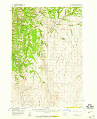
1957 · Elk Mountain
USGS Topo · 1:62,500

1959 · Grangeville
USGS Topo · 1:250,000
1980 · Grangeville
USGS Topo · 1:100,000
1982 · Wallowa
USGS Topo · 1:100,000
1986 · Enterprise
USGS Topo · 1:100,000
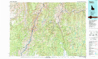
1987 · Riggins
USGS Topo · 1:100,000