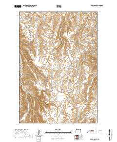
2020 Map of Elk Mountain SE
USGS Topo · Published 2020About this map
High-country drainages and intermittent streams define this remote portion of Wallowa County, captured in a recent 2020 survey. The landscape is primarily shaped by the flow of Butte Cr and the seasonally active Dry Salmon Cr, illustrating the rugged drainage patterns typical of this mountainous region of the Pacific Northwest. This map is particularly useful for tracking modern land management boundaries and water rights, as it reflects contemporary hydrography and public land survey systems. The terrain is characterized by steep elevation changes and narrow gulches, where the presence of water is the primary factor influencing both the local ecology and the history of land use in this sparsely populated corner of Oregon.
Find a feature on this map
2 named features on this map. Tap any name to fly to it.
Don’t see what you’re looking for? This feature index may not catch every label — zoom into the map to look around manually.
Map Details
Editions of this 2020 Elk Mountain SE Map
This is the sole edition of this map. No revisions or reprints were ever made.
Other maps of this area
1954 · Imnaha
USGS Topo · 1:62,500
1954 · Harl Butte
USGS Topo · 1:62,500

1955 · Grangeville
USGS Topo · 1:250,000
1957 · Joseph
USGS Topo · 1:62,500
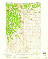
1957 · Elk Mountain
USGS Topo · 1:62,500

1959 · Grangeville
USGS Topo · 1:250,000
1980 · Grangeville
USGS Topo · 1:100,000
1982 · Wallowa
USGS Topo · 1:100,000
1986 · Enterprise
USGS Topo · 1:100,000
1987 · Riggins
USGS Topo · 1:100,000