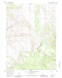
1955 Map of Elk Mountain SW
USGS Topo · Published 1984About this map
Cheesbrough Ranch and several other family-named holdings define the ranching landscape of Carbon County in this mid-century survey. The terrain transitions from the lower elevations of Pass Creek Basin toward the higher ground of the Medicine Bow National Forest. The complex water management of the era is evident through numerous irrigation features, including the Haglund Ditch, Highland Ditch, and Robinson Ditch, which redirect flow from the Medicine Bow River and its tributaries.
Find a feature on this map
36 named features on this map. Tap any name to fly to it.
Don’t see what you’re looking for? This feature index may not catch every label — zoom into the map to look around manually.
Map Details
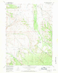
Editions of this 1955 Elk Mountain SW Map
3 editions found
Other maps of this area

1893 · Fort Steele
USGS Topo · 1:125,000

1906 · Medicine Bow
USGS Topo · 1:125,000

1908 · Medicine Bow
USGS Topo · 1:125,000

1939 · Saratoga
USGS Topo · 1:125,000

1954 · Rawlins
USGS Topo · 1:250,000

1955 · Elk Mountain
USGS Topo · 1:24,000

1955 · Elk Mountain SW
USGS Topo · 1:24,000

1955 · Rattlesnake Pass
USGS Topo · 1:24,000

1955 · Coad Mountain
USGS Topo · 1:24,000

1958 · Rawlins
USGS Topo · 1:250,000