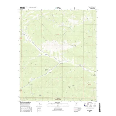
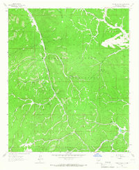
2017 Map of Elk-Silver
USGS Topo · Published 2017About this map
The Sacramento Mountains define this high-altitude landscape within the Lincoln National Forest, where a complex network of canyons and tribal service routes converges near the settlement of Elk-Silver. This area is characterized by its vital water sources, ranging from developed catchments like Dolan Tank and Mogoosh Tank to natural flows at Elk Springs and Poison Spring. The terrain is deeply dissected by numerous drainages, including the prominent Silver Springs Creek and the southern Hog Canyon.
Find a feature on this map
40 named features on this map. Tap any name to fly to it.
Don’t see what you’re looking for? This feature index may not catch every label — zoom into the map to look around manually.
Map Details
Editions of this 2017 Elk-Silver Map
This is the sole edition of this map. No revisions or reprints were ever made.
Other maps of this area
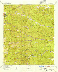
1952 · Cloudcroft
USGS Topo · 1:62,500

1954 · Carlsbad
USGS Topo · 1:250,000
1955 · Roswell
USGS Topo · 1:250,000

1958 · Carlsbad
USGS Topo · 1:250,000
1958 · Roswell
USGS Topo · 1:250,000
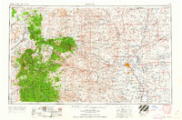
1962 · Roswell
USGS Topo · 1:250,000
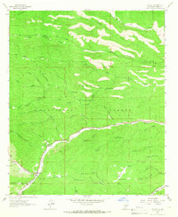
1963 · Mayhill
USGS Topo · 1:24,000
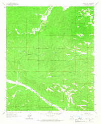
1963 · Turkey Peak
USGS Topo · 1:24,000
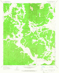
1963 · Pajarita Mountain
USGS Topo · 1:24,000
1963 · Firman Canyon
USGS Topo · 1:24,000