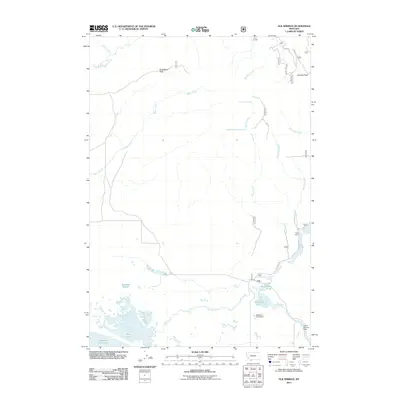
2011 Map of Elk Springs
USGS Topo · Published 2011About this map
Swan Lake and the northern reaches of Upper Red Rock Lake dominate the southwestern corner of this high-country landscape, where complex water systems define the terrain. The presence of Widgeon Pond Dam and Culver Springs Dam indicates early 21st-century water management within a region characterized by significant alpine features like Snowshoe Pass and Hoodoo Pass. Movement through the area is anchored by Elk Lake Rd, leading toward the seasonal hub of Selby Resort on the shores of Elk Lake. The map details a network of drainage basins, including the headwaters of the West Fork Madison River and Tepee Creek, which flow through a series of named springs and ponds such as Two Drink Springs and MacDonald Pond. This topography illustrates the transition from high mountain passes to the marshy lake-bottom flats typical of the Beaverhead region.
Find a feature on this map
24 named features on this map. Tap any name to fly to it.
Don’t see what you’re looking for? This feature index may not catch every label — zoom into the map to look around manually.
Map Details
Editions of this 2011 Elk Springs Map
This is the sole edition of this map. No revisions or reprints were ever made.
Other maps of this area
1950 · Cliff Lake
USGS Topo · 1:62,500
1950 · Lower Red Rock Lake
USGS Topo · 1:62,500
1950 · Monument Ridge
USGS Topo · 1:62,500
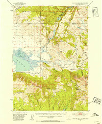
1950 · Upper Red Rock Lake
USGS Topo · 1:62,500

1955 · Ashton
USGS Topo · 1:250,000
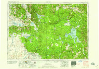
1958 · Ashton
USGS Topo · 1:250,000
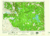
1960 · Ashton
USGS Topo · 1:250,000
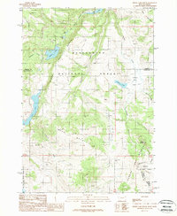
1988 · Hidden Lake Bench
USGS Topo · 1:24,000
1988 · Freezeout Mountain
USGS Topo · 1:24,000
1988 · Lower Red Rock Lake
USGS Topo · 1:24,000