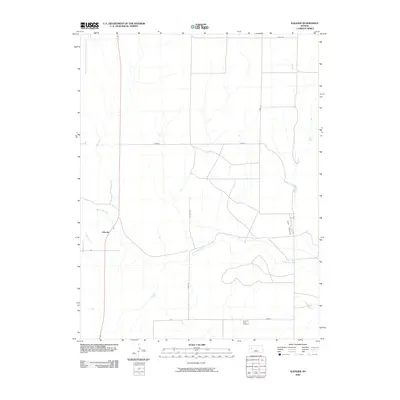
2009 Map of Elkader
USGS Topo · Published 2009About this map
Smoky Hill River meanders across this high plains landscape, joined from the southwest by the winding course of Ladder Creek. The small settlement of Elkader serves as a primary reference point in a region defined by its wide, open spaces and significant geological formations. To the east, the Chalk Pyramids rise from the terrain, indicating the unique white-rock outcroppings found throughout this portion of Logan County. Local history is anchored by the Pyramid View Cemetery near the southern border, while place names like Jayhawk and Elk reflect the persistent local identities of the rural interior. A network of county roads including Gove 10 and Gove H creates a grid across the prairie, facilitating travel between these scattered landmarks and the agricultural lands that dominate the horizon.
Find a feature on this map
14 named features on this map. Tap any name to fly to it.
Don’t see what you’re looking for? This feature index may not catch every label — zoom into the map to look around manually.
Map Details
Editions of this 2009 Elkader Map
This is the sole edition of this map. No revisions or reprints were ever made.
Other maps of this area

1939 · Lake Mc Bride
USGS Topo · 1:24,000

1939 · Sandon
USGS Topo · 1:62,500

1942 · Sandon
USGS Topo · 1:62,500

1942 · Lake Mc Bride
USGS Topo · 1:31,680

1955 · Scott City
USGS Topo · 1:250,000

1958 · Scott City
USGS Topo · 1:250,000

1972 · Elkader NW
USGS Topo · 1:24,000

1972 · Orion
USGS Topo · 1:24,000

1972 · Elkader NE
USGS Topo · 1:24,000

1974 · Healy NW
USGS Topo · 1:24,000