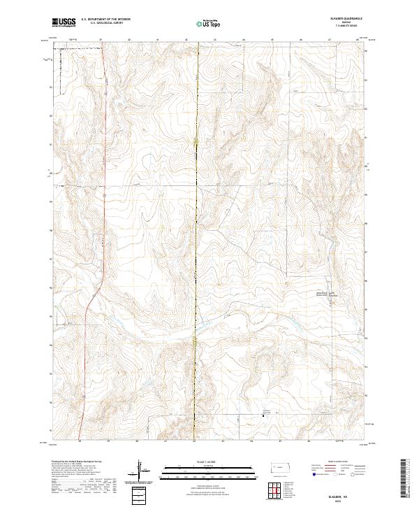
2022 Map of Elkader
USGS Topo · Published 2022About this map
The Smoky Hill River carves a deep valley through this Western Kansas landscape, defining the topography across the Logan and Gove County line. This area is characterized by dramatic geologic formations, most notably the Monument Rocks and Chalk Pyramids which rise from the surrounding plains. These chalk monoliths are remnants of the ancient Niobrara Sea, standing as prominent landmarks in an otherwise open prairie.
Find a feature on this map
25 named features on this map. Tap any name to fly to it.
Don’t see what you’re looking for? This feature index may not catch every label — zoom into the map to look around manually.
Map Details
Editions of this 2022 Elkader Map
This is the sole edition of this map. No revisions or reprints were ever made.
Other maps of this area

1939 · Lake Mc Bride
USGS Topo · 1:24,000

1939 · Sandon
USGS Topo · 1:62,500

1942 · Sandon
USGS Topo · 1:62,500

1942 · Lake Mc Bride
USGS Topo · 1:31,680

1955 · Scott City
USGS Topo · 1:250,000

1958 · Scott City
USGS Topo · 1:250,000

1972 · Elkader NW
USGS Topo · 1:24,000

1972 · Orion
USGS Topo · 1:24,000

1972 · Elkader NE
USGS Topo · 1:24,000

1974 · Healy NW
USGS Topo · 1:24,000