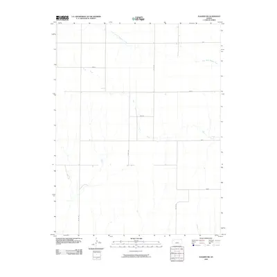
2009 Map of Elkader NW
USGS Topo · Published 2009About this map
South Branch Hackberry Creek and Plum Creek define the drainage patterns of this Logan County landscape. The map shows a strictly rectilinear road network that organizes the agricultural terrain, with named thoroughfares like Topeka, Seneca, and Osage providing local orientation. These specific road names, often mirroring those of larger Kansas cities or regional tribes, suggest an era of formal land division and established township planning. The presence of Rawhide and Quail roads further illustrates the systematic naming conventions used to manage this rural territory. Historically, this region is characterized by its reliance on intermittent water sources and a highly organized grid system, which facilitated the expansion of ranching and farming operations across the high plains.
Find a feature on this map
12 named features on this map. Tap any name to fly to it.
Don’t see what you’re looking for? This feature index may not catch every label — zoom into the map to look around manually.
Map Details
Editions of this 2009 Elkader NW Map
This is the sole edition of this map. No revisions or reprints were ever made.
Other maps of this area

1954 · Goodland
USGS Topo · 1:250,000

1955 · Scott City
USGS Topo · 1:250,000

1956 · Goodland
USGS Topo · 1:250,000

1957 · Goodland
USGS Topo · 1:250,000

1958 · Scott City
USGS Topo · 1:250,000

1972 · Monument
USGS Topo · 1:24,000

1972 · Elkader NW
USGS Topo · 1:24,000

1972 · Elkader NE
USGS Topo · 1:24,000
1972 · Russell Springs NE
USGS Topo · 1:24,000

1974 · Elkader SW
USGS Topo · 1:24,000