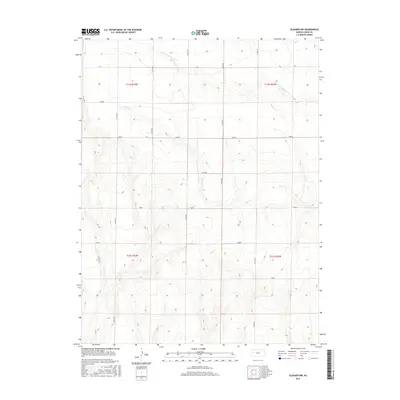
2015 Map of Elkader NW
USGS Topo · Published 2015About this map
The High Plains landscape of Logan County is defined here by the winding drainages of South Br Hackberry Cr and Plum Cr. In this part of western Kansas, the terrain is characterized by a high-altitude prairie plateau dissected by these seasonal watercourses, which historically dictated the movement of cattle and early settlement. The map reveals a highly structured grid of section lines and county roads, such as Co RD 380 and Co RD 400, that impose order on the open expanse. Notable named areas such as Osage, Seneca, and Plains mark distinct portions of the quadrangle, reflecting the administrative and historical divisions of the township and range system. This 2015 survey provides a modern look at the durable rural infrastructure of the region, where the primary land use remains centered on the vast open spaces between the occasional road intersections and creek beds.
Find a feature on this map
20 named features on this map. Tap any name to fly to it.
Don’t see what you’re looking for? This feature index may not catch every label — zoom into the map to look around manually.
Map Details
Editions of this 2015 Elkader NW Map
This is the sole edition of this map. No revisions or reprints were ever made.
Other maps of this area

1954 · Goodland
USGS Topo · 1:250,000

1955 · Scott City
USGS Topo · 1:250,000

1956 · Goodland
USGS Topo · 1:250,000

1957 · Goodland
USGS Topo · 1:250,000

1958 · Scott City
USGS Topo · 1:250,000

1972 · Monument
USGS Topo · 1:24,000

1972 · Elkader NW
USGS Topo · 1:24,000

1972 · Elkader NE
USGS Topo · 1:24,000
1972 · Russell Springs NE
USGS Topo · 1:24,000

1974 · Elkader SW
USGS Topo · 1:24,000