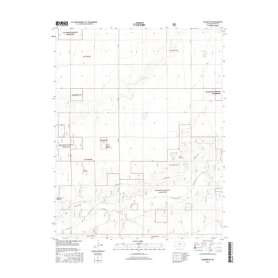
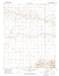
2015 Map of Elkhart NE
USGS Topo · Published 2015About this map
Cimarron National Grassland dominates this corner of Morton County, preserving a landscape defined by its high plains hydrology and traditional grazing lands. The Cimarron River and the N Fork Cimarron River create the primary geographical relief, carving paths through the terrain where several long-standing grazing areas are identified. Named tracts like Yoder Pasture, Mills Pasture, Eightyone Pasture, and Pasture Number Sixteen point to the area's agricultural heritage and organized land management. A network of primitive routes and trails, including the Companion Trail, Cimarron River Trail, and W Turkey Trail, crisscross the grasslands, following the natural contours of the river valleys and providing access to these expansive public lands. This 2015 survey reflects a modern era of conservation where the open range is managed for both environmental protection and limited recreation.
Find a feature on this map
21 named features on this map. Tap any name to fly to it.
Don’t see what you’re looking for? This feature index may not catch every label — zoom into the map to look around manually.
Map Details
Editions of this 2015 Elkhart NE Map
This is the sole edition of this map. No revisions or reprints were ever made.
Other maps of this area

1955 · Dodge City
USGS Topo · 1:250,000

1958 · Dodge City
USGS Topo · 1:250,000

1959 · Dodge City
USGS Topo · 1:250,000

1973 · Shore Airport SW
USGS Topo · 1:24,000

1973 · Rolla NW
USGS Topo · 1:24,000

1973 · Elkhart NE
USGS Topo · 1:24,000
1973 · Elkhart North
USGS Topo · 1:24,000
1973 · Richfield SW
USGS Topo · 1:24,000
1973 · Richfield
USGS Topo · 1:24,000
1973 · Elkhart NW
USGS Topo · 1:24,000