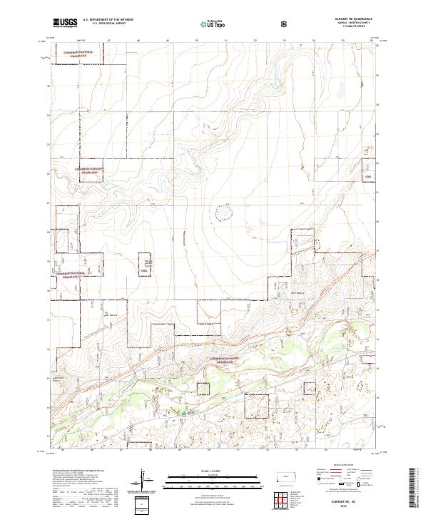
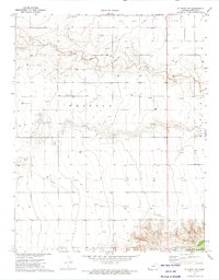
2022 Map of Elkhart NE
USGS Topo · Published 2022About this map
Cimarron National Grassland dominates this corner of Morton County, preserving a landscape defined by the winding course of the Cimarron River and its northern tributary. This modern-era survey illustrates a vast network of historical and recreational pathways, most notably the Santa Fe National Historic Trl which cuts diagonally across the terrain. The map provides a detailed look at the grazing divisions that characterize this public land, with specific cattle grazing areas identified as Yoder Pasture, Mills Pasture, and Eightyone Pasture. Water is a critical feature in this arid environment, represented by the N Fork Cimarron River and the isolated Wilburton Pond. A complex trail system including the Companion Trl, East Turkey Trl, and Cimarron River Trl facilitates movement through the grasslands, while a strict grid of county roads like Co RD 13 and S RD manages the sectioned landscape.
Find a feature on this map
23 named features on this map. Tap any name to fly to it.
Don’t see what you’re looking for? This feature index may not catch every label — zoom into the map to look around manually.
Map Details
Editions of this 2022 Elkhart NE Map
This is the sole edition of this map. No revisions or reprints were ever made.
Other maps of this area

1955 · Dodge City
USGS Topo · 1:250,000

1958 · Dodge City
USGS Topo · 1:250,000

1959 · Dodge City
USGS Topo · 1:250,000

1973 · Shore Airport SW
USGS Topo · 1:24,000

1973 · Rolla NW
USGS Topo · 1:24,000

1973 · Elkhart NE
USGS Topo · 1:24,000
1973 · Elkhart North
USGS Topo · 1:24,000
1973 · Richfield SW
USGS Topo · 1:24,000
1973 · Richfield
USGS Topo · 1:24,000
1973 · Elkhart NW
USGS Topo · 1:24,000