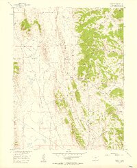
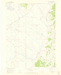
1956 Map of Elkhorn
USGS Topo · Published 1957About this map
Elkhorn Ranch and the Elkhorn Community House serve as the primary human touchpoints in this 1950s landscape of high-elevation basins and steep ridges. The terrain is defined by dramatic geological features like Mexican Ridge and Link Spring Ridge, which overlook the broad expanse known as The Basin. Water is the critical resource here, evidenced by numerous named sources such as Association Spring, Garcia Spring, and Lone Tree Spring. An Aqueduct cuts across the northwest, signaling the management of water in this semi-arid environment. Local travel and ranch access are facilitated by the Elkhorn Road and Ruby Road, which navigate around prominent elevations like Logan Hill. The intricate drainage system is mapped through features like Sevenmile Gulch and Early Gulch, which reveal the natural erosion patterns shaping the Park County territory.
Find a feature on this map
23 named features on this map. Tap any name to fly to it.
Don’t see what you’re looking for? This feature index may not catch every label — zoom into the map to look around manually.
Map Details
Editions of this 1956 Elkhorn Map
5 editions found
Other maps of this area

1937 · Como
USGS Topo · 1:62,500

1953 · Denver
USGS Topo · 1:250,000

1956 · Eagle Rock
USGS Topo · 1:24,000

1956 · Elkhorn
USGS Topo · 1:24,000

1956 · Sulphur Mountain
USGS Topo · 1:24,000

1956 · Garo
USGS Topo · 1:24,000

1956 · Fairplay East
USGS Topo · 1:24,000

1956 · Hartsel
USGS Topo · 1:24,000

1957 · Denver
USGS Topo · 1:250,000
1957 · Milligan Lakes
USGS Topo · 1:24,000