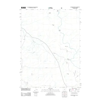
2012 Map of Elkhorn Point
USGS Topo · Published 2012About this map
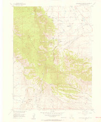
The N Platte River carves a significant course through this high-altitude landscape, flowing north through the dramatic North Gate Canyon and past Stovepipe Gulch. This early 21st-century survey documents a region defined by its rugged water management and ranching heritage, featuring the Henry Ditch irrigation system and the established Big Creek Ranch in the west. Topographic landmarks like Prospect Mountain and Deerhorn Point overlook a network of seasonal and perennial streams, including Big Cr and Sixmile Cr. Small-scale human activity is evidenced at the Sixmile Picnic Ground and the Rock Springs site, while access is maintained via USFS Road 516 and Holroyd Rd, illustrating the intersection of public forest land and private ranching interests.
Find a feature on this map
24 named features on this map. Tap any name to fly to it.
Don’t see what you’re looking for? This feature index may not catch every label — zoom into the map to look around manually.
Map Details
Editions of this 2012 Elkhorn Point Map
This is the sole edition of this map. No revisions or reprints were ever made.
Other maps of this area
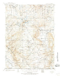
1906 · Medicine Bow
USGS Topo · 1:125,000
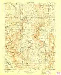
1908 · Medicine Bow
USGS Topo · 1:125,000
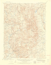
1911 · Hahns Peak
USGS Topo · 1:125,000
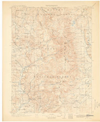
1913 · Hahns Peak
USGS Topo · 1:125,000
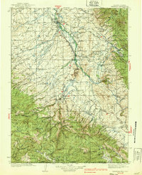
1939 · Saratoga
USGS Topo · 1:125,000
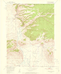
1950 · Northgate
USGS Topo · 1:24,000
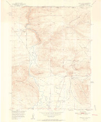
1952 · Northgate
USGS Topo · 1:24,000

1954 · Rawlins
USGS Topo · 1:250,000

1954 · Craig
USGS Topo · 1:250,000
1955 · Independence Mountain
USGS Topo · 1:24,000