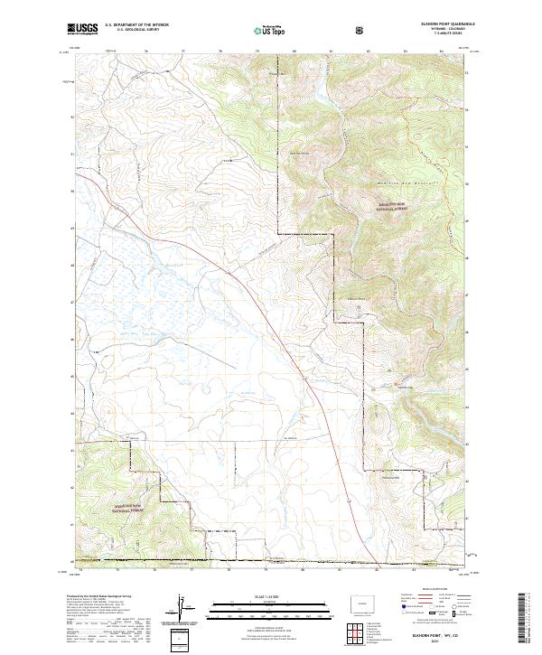
2021 Map of Elkhorn Point
USGS Topo · Published 2021About this map
The Medicine Bow National Forest dominates this high-altitude landscape along the border of Wyoming and Colorado. The terrain is defined by the sharp descent of the Medicine Bow Mountains, with landmarks like Elkhorn Point and Deerhorn Point overlooking the river corridor. Water management and natural drainage are central to the area's geography, evidenced by the Henry Ditch irrigation feature and water bodies such as Spring Lake and Long Lake. The North Platte River carves through the eastern portion of the map, passing through the narrow North Gate Canyon. This transition from mountain peaks like Prospect Mtn to the river valley illustrates the complex topography of the Platte Ridge. These features indicate a region primarily used for timber, grazing, and watershed protection, where roads like Big Creek Rd and Stove Pipe Gulch Rd provide the only access into the backcountry.
Find a feature on this map
37 named features on this map. Tap any name to fly to it.
Don’t see what you’re looking for? This feature index may not catch every label — zoom into the map to look around manually.
Map Details
Editions of this 2021 Elkhorn Point Map
This is the sole edition of this map. No revisions or reprints were ever made.
Other maps of this area

1906 · Medicine Bow
USGS Topo · 1:125,000

1908 · Medicine Bow
USGS Topo · 1:125,000

1911 · Hahns Peak
USGS Topo · 1:125,000

1913 · Hahns Peak
USGS Topo · 1:125,000

1939 · Saratoga
USGS Topo · 1:125,000

1950 · Northgate
USGS Topo · 1:24,000

1952 · Northgate
USGS Topo · 1:24,000

1954 · Rawlins
USGS Topo · 1:250,000

1954 · Craig
USGS Topo · 1:250,000

1955 · Independence Mountain
USGS Topo · 1:24,000