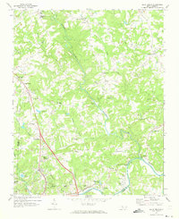
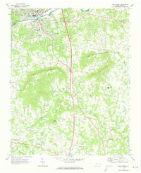
1971 Map of Elkin North
USGS Topo · Published 1973About this map
Elkin and its northern outskirts are the focal point of this 1971 study, where the foothills topography of the Blue Ridge meets the winding Yadkin River. The landscape is defined by the sharp descent of the Mitchell River and its numerous tributaries like Snow Creek and Grassy Creek, which carve deep valleys into the terrain. This period shows a community structured around both traditional rural anchors and mid-century development, evidenced by the cluster of country churches such as Union Cross Ch and Poplar Springs Ch alongside newer facilities like the Elkin Municipal Airport.
Find a feature on this map
47 named features on this map. Tap any name to fly to it.
Don’t see what you’re looking for? This feature index may not catch every label — zoom into the map to look around manually.
Map Details
Editions of this 1971 Elkin North Map
2 editions found
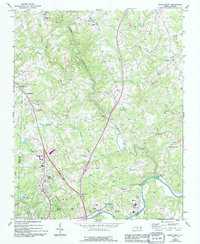
Other maps of this area

1891 · Yadkinville
USGS Topo · 1:125,000

1893 · Yadkinville
USGS Topo · 1:125,000

1953 · Winston-Salem
USGS Topo · 1:250,000

1955 · Winston-Salem
USGS Topo · 1:250,000

1962 · Winston-Salem
USGS Topo · 1:250,000

1966 · Yadkinville
USGS Topo · 1:24,000

1970 · Copeland
USGS Topo · 1:24,000
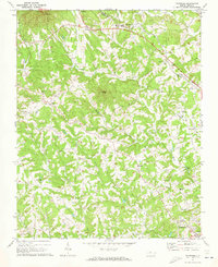
1971 · Thurmond
USGS Topo · 1:24,000
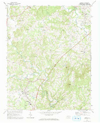
1971 · Dobson
USGS Topo · 1:24,000
1971 · Elkin South
USGS Topo · 1:24,000