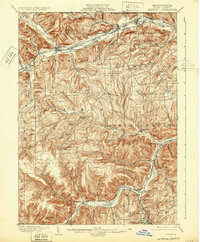
1900 Map of Elkland
USGS Topo · Published 1932About this map
Cowanesque River valleys define the landscape of northern Tioga County at the turn of the century, where the industrial and agricultural rhythm of the Northern Tier is clearly visible. The survey captures a sophisticated network of transportation, dominated by the Buffalo and Susquehanna R. R. and the New York Central and Hudson River R. R., which follow the water gaps to serve established boroughs like Elkland and Knoxville.
Find a feature on this map
72 named features on this map. Tap any name to fly to it.
Don’t see what you’re looking for? This feature index may not catch every label — zoom into the map to look around manually.
Map Details
Editions of this 1900 Elkland Map
5 editions found
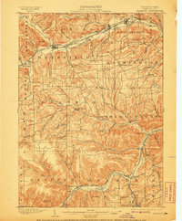
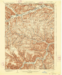
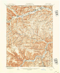
Other maps of this area

1899 · Gaines
USGS Topo · 1:62,500

1900 · Gaines
USGS Topo · 1:62,500

1900 · Tioga
USGS Topo · 1:62,500

1900 · Elkland
USGS Topo · 1:62,500

1902 · Tioga
USGS Topo · 1:62,500

1914 · Corning
USGS Topo · 1:62,500

1924 · Woodhull
USGS Topo · 1:48,000

1925 · Blossburg
USGS Topo · 1:62,500

1926 · Woodhull
USGS Topo · 1:62,500

1926 · Greenwood
USGS Topo · 1:62,500