
1900 Map of Elkland
USGS Topo · Published 1900About this map
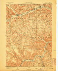
The Cowanesque River valley serves as the primary corridor for commerce and transport in this northern Pennsylvania landscape at the turn of the century. Three major rail lines, including the New York Central and Hudson River R. R. and the Buffalo and Susquehanna R. R., converge near the Pennsylvania-New York border to serve the industrial and agricultural needs of boroughs like Knoxville and Elkland. These settlements are densely concentrated along the water, while the surrounding townships of Chatham and Farmington remain defined by high ridges and family-named landmarks such as Christian Hill and South Hill.
Find a feature on this map
58 named features on this map. Tap any name to fly to it.
Don’t see what you’re looking for? This feature index may not catch every label — zoom into the map to look around manually.
Map Details
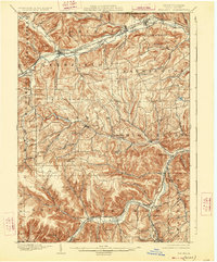
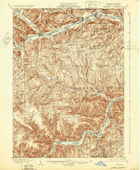
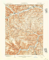
Editions of this 1900 Elkland Map
5 editions found
Other maps of this area

1899 · Gaines
USGS Topo · 1:62,500

1900 · Gaines
USGS Topo · 1:62,500

1900 · Tioga
USGS Topo · 1:62,500

1902 · Tioga
USGS Topo · 1:62,500

1914 · Corning
USGS Topo · 1:62,500

1924 · Woodhull
USGS Topo · 1:48,000

1925 · Blossburg
USGS Topo · 1:62,500

1926 · Woodhull
USGS Topo · 1:62,500

1926 · Greenwood
USGS Topo · 1:62,500

1927 · Blossburg
USGS Topo · 1:62,500