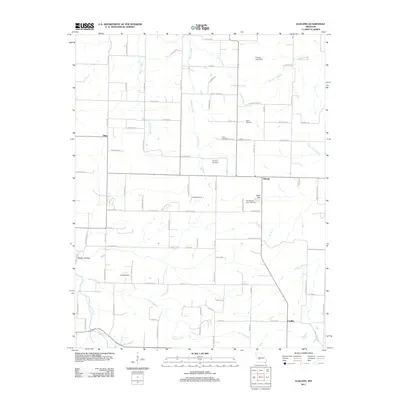
2011 Map of Elkland
USGS Topo · Published 2011About this map
The Pomme de Terre River winds through the southwestern corner of this Dallas County landscape, where the rural settlements of Olive, Elkland, and Conklin serve as local hubs. This 2011 survey reveals a territory defined by small family cemeteries and agricultural life, with several Landing Strip locations indicating the importance of private aviation in these isolated communities. To the north and east, the drainage basin is shaped by Staten Creek, Greasy Creek, and Patterson Branch, while the terrain drops into Mutton Hollow near the river. Genealogists will find a concentrated cluster of historical burial sites, including Stever Cemetery, Davis Cemetery, and the Old Pleasant View Cemetery. The inclusion of localized water management features like Hannon Lake Dam and Dugan Dam illustrates the modification of the Ozark foothills for farming and livestock.
Find a feature on this map
90 named features on this map. Tap any name to fly to it.
Don’t see what you’re looking for? This feature index may not catch every label — zoom into the map to look around manually.
Map Details
Editions of this 2011 Elkland Map
This is the sole edition of this map. No revisions or reprints were ever made.
Other maps of this area

1884 · Springfield
USGS Topo · 1:125,000

1884 · Bolivar
USGS Topo · 1:125,000

1886 · Springfield
USGS Topo · 1:125,000

1892 · Bolivar
USGS Topo · 1:125,000

1939 · Long Lane
USGS Topo · 1:62,500

1942 · Long Lane
USGS Topo · 1:62,500

1946 · Bassville
USGS Topo · 1:24,000

1946 · Niangua
USGS Topo · 1:62,500

1947 · Strafford
USGS Topo · 1:62,500

1948 · Bassville
USGS Topo · 1:24,000