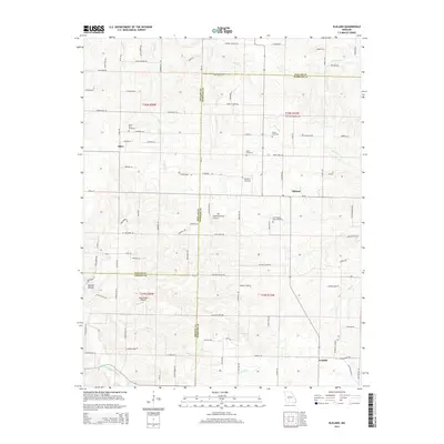
2015 Map of Elkland
USGS Topo · Published 2015About this map
Olive, Elkland, and Conklin anchor this 2015 topographic study of the Ozark plateau where Dallas, Webster, and Greene counties meet. The landscape is defined by the headwaters of several drainages, including the Pomme de Terre River and Greasy Creek, which carve through the terrain near Mutton Hollow. Genealogists will find a high concentration of burial sites throughout the region, such as Mount Olive Cemetery, Stever Cemetery, Davis Cemetery, and Atteberry Cemetery, often located near crossroads or along historical family-named routes like Patterson Branch Road. Small-scale aviation is represented by private landing strips including Blumenstetter Airport and Eads Ridge Airport. This modern survey details the intricate network of local connectors and country roads that have evolved from early settlement patterns, providing a precise look at the rural Missouri interior during the early 21st century.
Find a feature on this map
106 named features on this map. Tap any name to fly to it.
Don’t see what you’re looking for? This feature index may not catch every label — zoom into the map to look around manually.
Map Details
Editions of this 2015 Elkland Map
This is the sole edition of this map. No revisions or reprints were ever made.
Other maps of this area

1884 · Springfield
USGS Topo · 1:125,000

1884 · Bolivar
USGS Topo · 1:125,000

1886 · Springfield
USGS Topo · 1:125,000

1892 · Bolivar
USGS Topo · 1:125,000

1939 · Long Lane
USGS Topo · 1:62,500

1942 · Long Lane
USGS Topo · 1:62,500

1946 · Bassville
USGS Topo · 1:24,000

1946 · Niangua
USGS Topo · 1:62,500

1947 · Strafford
USGS Topo · 1:62,500

1948 · Bassville
USGS Topo · 1:24,000