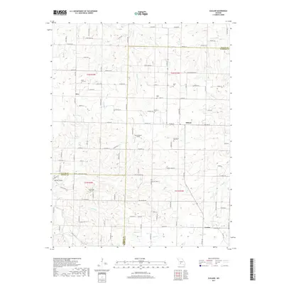
2017 Map of Elkland
USGS Topo · Published 2017About this map
Olive and Elkland anchor this southwestern Missouri landscape, where the borders of Dallas, Webster, and Greene Counties converge. The terrain is defined by a dense network of small waterways, including Greasy Cr, Selph Br, and the Pomme de Terre River, which carve through the Ozark plateau. Local family history is well-preserved through numerous burial grounds such as Mount Olive Cem, Stever Cem, and Atteberry Cem.
Find a feature on this map
116 named features on this map. Tap any name to fly to it.
Don’t see what you’re looking for? This feature index may not catch every label — zoom into the map to look around manually.
Map Details
Editions of this 2017 Elkland Map
This is the sole edition of this map. No revisions or reprints were ever made.
Other maps of this area
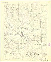
1884 · Springfield
USGS Topo · 1:125,000
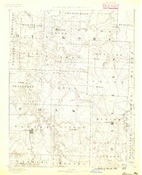
1884 · Bolivar
USGS Topo · 1:125,000
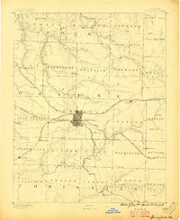
1886 · Springfield
USGS Topo · 1:125,000
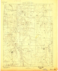
1892 · Bolivar
USGS Topo · 1:125,000
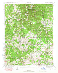
1939 · Long Lane
USGS Topo · 1:62,500
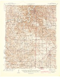
1942 · Long Lane
USGS Topo · 1:62,500
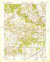
1946 · Bassville
USGS Topo · 1:24,000
1946 · Niangua
USGS Topo · 1:62,500
1947 · Strafford
USGS Topo · 1:62,500
1948 · Bassville
USGS Topo · 1:24,000