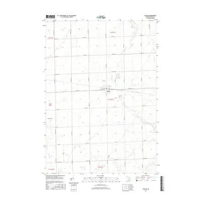
2017 Map of Elkton
USGS Topo · Published 2017About this map
The village of Elkton serves as the central hub of this agricultural landscape in Huron County, where the grid-based road network of Oliver Township meets the meandering course of the Pinnebog River. This 2017 study illustrates the intersection of small-town life and the surrounding farm economy, centered on the junction of Main St and Pigeon Rd. Along the southern edges of the village, Riverside Cem provides a genealogical touchpoint for local families, while further south, Grant Cem marks a more isolated burial ground near Kilmanagh Rd. The terrain is characterized by the drainages of the Pinnebog River to the east and the Pigeon River to the west, defining the hydrology of the thumb region. This map effectively documents the contemporary layout of local thoroughfares like Berne Rd and Geiger Rd that connect the scattered homesteads of the Michigan countryside.
Find a feature on this map
45 named features on this map. Tap any name to fly to it.
Don’t see what you’re looking for? This feature index may not catch every label — zoom into the map to look around manually.
Map Details
Editions of this 2017 Elkton Map
This is the sole edition of this map. No revisions or reprints were ever made.
Other maps of this area
1954 · Flint
USGS Topo · 1:250,000
1958 · Flint
USGS Topo · 1:250,000
1963 · New Greenleaf
USGS Topo · 1:24,000
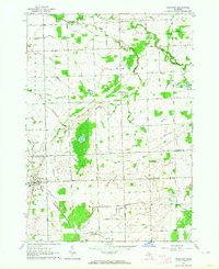
1963 · Gagetown
USGS Topo · 1:24,000
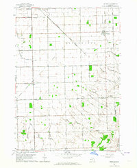
1963 · Owendale
USGS Topo · 1:24,000
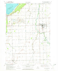
1970 · Bay Port East
USGS Topo · 1:24,000
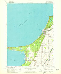
1970 · Caseville
USGS Topo · 1:24,000
1970 · Rush Lake
USGS Topo · 1:24,000
1970 · Kinde West
USGS Topo · 1:24,000
1970 · Bad Axe West
USGS Topo · 1:24,000