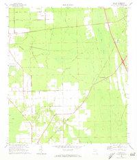
1970 Map of Elkton
USGS Topo · Published 1973About this map
Elkton and the surrounding agricultural landscape of St. Johns County are defined here by a network of drainage canals and rural track roads such as Poa Boy Road and Cabbage Hammock Rd. The Florida East Coast railway serves as a primary corridor, connecting the settlements of Armstrong and Vermont Heights through the marshy lowlands of Trestle Bay and Cowan Swamp. Local community life is anchored by landmarks like the St Ambrose Ch and Zion Hill Ch, while the presence of the Fairgrounds and a Landing Strip suggests a hub for regional gatherings and aviation in this era. The topography reveals the intricate water management required in this part of Florida, with McCullough Creek and various unnamed branches weaving between established farms and timber stands.
Find a feature on this map
36 named features on this map. Tap any name to fly to it.
Don’t see what you’re looking for? This feature index may not catch every label — zoom into the map to look around manually.
Map Details
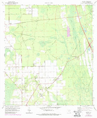
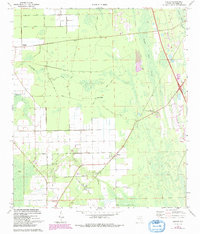
Editions of this 1970 Elkton Map
3 editions found
Other maps of this area

1912 · Palatka
USGS Topo · 1:48,000

1915 · Palatka
USGS Topo · 1:62,500

1937 · Bakersville
USGS Topo · 1:24,000

1937 · Elkton
USGS Topo · 1:24,000

1937 · Crescent Beach
USGS Topo · 1:24,000

1937 · Dinner Island
USGS Topo · 1:48,000

1937 · St. Augustine
USGS Topo · 1:24,000

1943 · St. Augustine
USGS Topo · 1:62,500

1943 · Dinner Island
USGS Topo · 1:62,500

1944 · Dinner Island
USGS Topo · 1:62,500