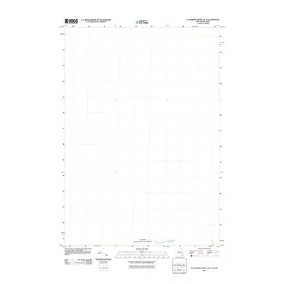
2011 Map of Ellenburg Depot OE N
USGS Topo · Published 2011About this map
Canada United States of America borderlands define this 2011 topographic study, which focuses on the transition between northern New York and southern Quebec. Unlike typical interior maps, this sheet is largely a study of international boundaries and the geographical threshold where the United States meets its northern neighbor. The most significant natural feature depicted is a small water body known as The Gulf, situated precisely on the international line. This specialized survey provides a clear look at the cartographic separation of these two nations at a scale that captures the immediate topography of the border region, even in areas where human settlement is sparse.
Find a feature on this map
2 named features on this map. Tap any name to fly to it.
Don’t see what you’re looking for? This feature index may not catch every label — zoom into the map to look around manually.
Map Details
Editions of this 2011 Ellenburg Depot OE N Map
This is the sole edition of this map. No revisions or reprints were ever made.
Other maps of this area

1895 · Mooers
USGS Topo · 1:62,500

1899 · Mooers
USGS Topo · 1:62,500

1915 · Churubusco
USGS Topo · 1:62,500

1942 · Mooers
USGS Topo · 1:62,500

1943 · Churubusco
USGS Topo · 1:62,500

1943 · Mooers
USGS Topo · 1:62,500

1950 · Lake Champlain
USGS Topo · 1:250,000
1956 · Mooers
USGS Topo · 1:62,500

1958 · Lake Champlain
USGS Topo · 1:250,000

1962 · Lake Champlain
USGS Topo · 1:250,000