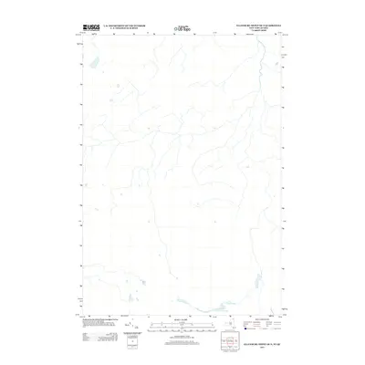
2013 Map of Ellenburg Depot OE N
USGS Topo · Published 2013About this map
The Gulf anchors the southeastern corner of this quadrangle, defining a landscape marked by a network of drainage channels that flow northward toward the international boundary. This area, surveyed by the U.S. Geological Survey, reflects the rural agricultural patterns and natural watercourses along the New York and Quebec border. The map documents the hydrography and primary road systems of the region, where subtle elevation changes guide the path of numerous small streams and tributaries across the borderlands.
Find a feature on this map
1 named feature on this map. Tap any name to fly to it.
Don’t see what you’re looking for? This feature index may not catch every label — zoom into the map to look around manually.
Map Details
Editions of this 2013 Ellenburg Depot OE N Map
This is the sole edition of this map. No revisions or reprints were ever made.
Other maps of this area

1895 · Mooers
USGS Topo · 1:62,500

1899 · Mooers
USGS Topo · 1:62,500

1915 · Churubusco
USGS Topo · 1:62,500

1942 · Mooers
USGS Topo · 1:62,500

1943 · Churubusco
USGS Topo · 1:62,500

1943 · Mooers
USGS Topo · 1:62,500

1950 · Lake Champlain
USGS Topo · 1:250,000
1956 · Mooers
USGS Topo · 1:62,500

1958 · Lake Champlain
USGS Topo · 1:250,000

1962 · Lake Champlain
USGS Topo · 1:250,000