2022 Map of Ellendale
USGS Topo · Published 2022About this map
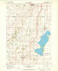
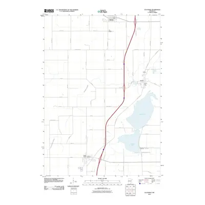
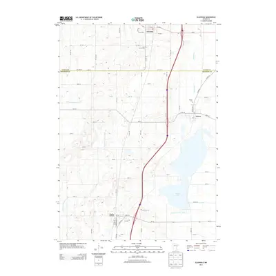
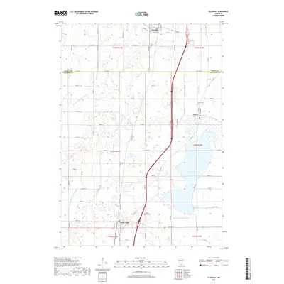
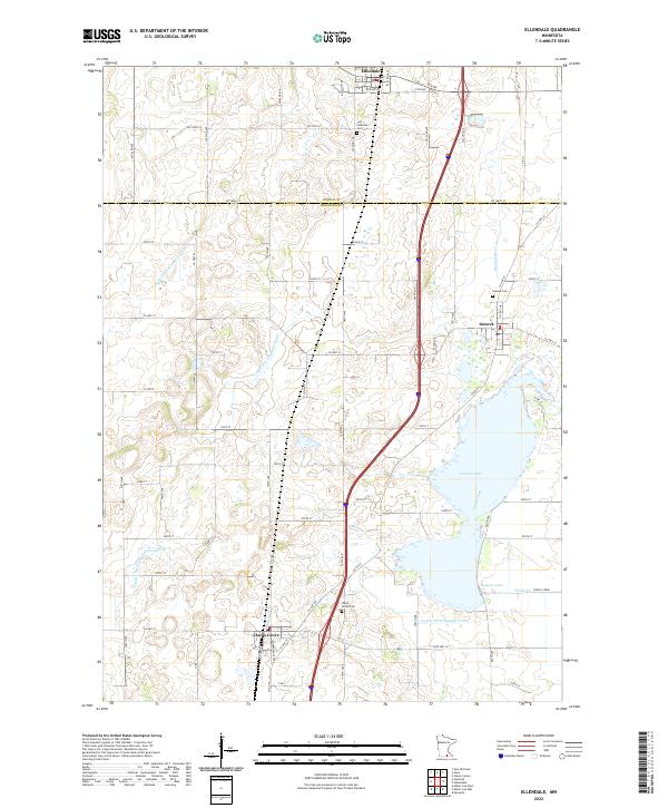
Geneva Lake dominates the eastern half of this landscape, its expansive waters feeding into Turtle Creek and the Straight River further north. This agricultural region on the boundary of Steele and Freeborn Counties is defined by a dense network of managed waterways, including County Ditch Number Eight and County Ditch Number Sixty-three, which support the surrounding farmland. The survey centers on three primary settlements: Ellendale at the northern edge, Geneva near the lakeshore, and Clarks Grove to the south.
Find a feature on this map
71 named features on this map. Tap any name to fly to it.
Don’t see what you’re looking for? This feature index may not catch every label — zoom into the map to look around manually.
Map Details
Editions of this 2022 Ellendale Map
This is the sole edition of this map. No revisions or reprints were ever made.
Historical Maps of Clarks Grove Through Time
6 maps found