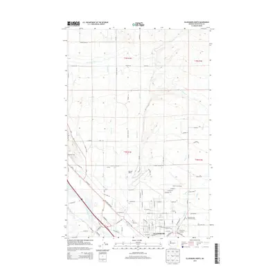
2014 Map of Ellensburg North
USGS Topo · Published 2014About this map
Ellensburg and the surrounding Kittitas Valley are defined by a complex network of natural and engineered waterways. The Yakima River flows along the southwestern edge, while numerous smaller streams like Reecer Creek and Currier Creek descend from the northern hills. This agricultural and educational hub is home to the campus of Central Washington University and infrastructure like the North Branch Canal and Ellensburg Power Canal, which highlight the region's reliance on water management.
Find a feature on this map
94 named features on this map. Tap any name to fly to it.
Don’t see what you’re looking for? This feature index may not catch every label — zoom into the map to look around manually.
Map Details
Editions of this 2014 Ellensburg North Map
This is the sole edition of this map. No revisions or reprints were ever made.
Other maps of this area

1897 · Mount Stuart
USGS Topo · 1:125,000

1899 · Ellensburg
USGS Topo · 1:125,000

1901 · Ellensburg
USGS Topo · 1:125,000

1902 · Mount Stuart
USGS Topo · 1:125,000

1920 · Colockum Pass
USGS Topo · 1:125,000

1922 · Colockum Pass
USGS Topo · 1:125,000

1938 · Badger Pocket
USGS Topo · 1:48,000

1943 · Badger Pocket
USGS Topo · 1:62,500

1950 · Yakima
USGS Topo · 1:250,000

1953 · Kittitas
USGS Topo · 1:24,000