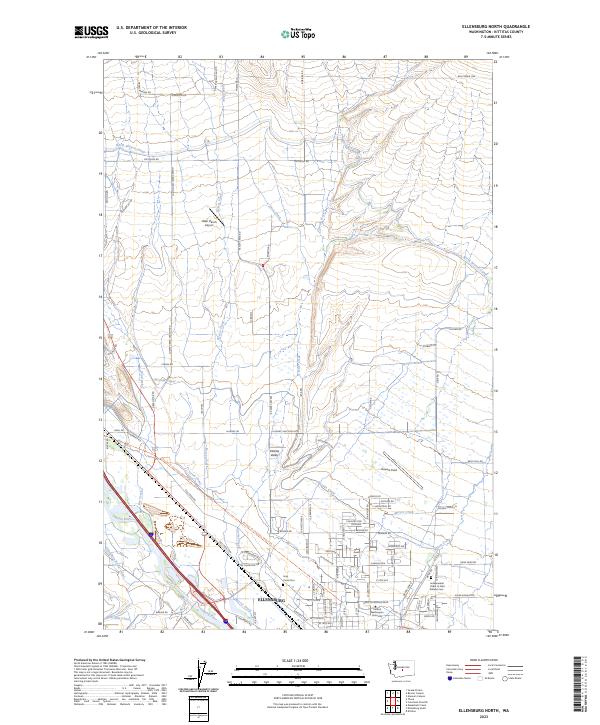
2023 Map of Ellensburg North
USGS Topo · Published 2023About this map
Ellensburg and the surrounding Kittitas Valley are defined by a complex network of man-made waterways essential to this arid agricultural region. The North Branch Canal, Cascade Canal, and West Side Canal snake through the landscape, highlighting the vital role of irrigation alongside the Yakima River. The northern expansion of the city is anchored by the campus of Central Washington University, while the western periphery includes the Holy Cross Cem and the Independent Order of Odd Fellows Cem. This geography is further marked by the Palouse To Cascades State Park Trl, tracing a path through the valley near Bowers Field. The arrangement of these features suggests a landscape deeply transformed by engineered water management to support both the growing urban center and the expansive farms of the valley floor.
Find a feature on this map
74 named features on this map. Tap any name to fly to it.
Don’t see what you’re looking for? This feature index may not catch every label — zoom into the map to look around manually.
Map Details
Editions of this 2023 Ellensburg North Map
This is the sole edition of this map. No revisions or reprints were ever made.
Other maps of this area

1897 · Mount Stuart
USGS Topo · 1:125,000

1899 · Ellensburg
USGS Topo · 1:125,000

1901 · Ellensburg
USGS Topo · 1:125,000

1902 · Mount Stuart
USGS Topo · 1:125,000

1920 · Colockum Pass
USGS Topo · 1:125,000

1922 · Colockum Pass
USGS Topo · 1:125,000

1938 · Badger Pocket
USGS Topo · 1:48,000

1943 · Badger Pocket
USGS Topo · 1:62,500

1950 · Yakima
USGS Topo · 1:250,000

1953 · Kittitas
USGS Topo · 1:24,000