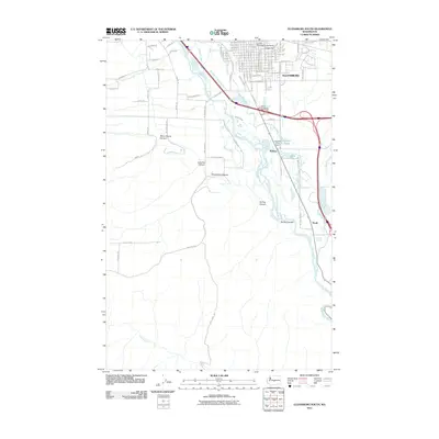
2011 Map of Ellensburg South
USGS Topo · Published 2011About this map
Central Washington University anchors the northern edge of this landscape, marking the transition from the city of Ellensburg to the agricultural valley floor of the Yakima River. The terrain south of the city is defined by a complex irrigation network, featuring the Clinesmith Irrigation Ditch, Tjossem Ditch, and Fogarty Ditch, which support the farms and orchards of the Kittitas Valley. This 2011 survey captures the area just as the modern South Ellensburg Interchange connects the interstate system to local routes like Bull Rd and Berry Rd.
Find a feature on this map
98 named features on this map. Tap any name to fly to it.
Don’t see what you’re looking for? This feature index may not catch every label — zoom into the map to look around manually.
Map Details
Editions of this 2011 Ellensburg South Map
This is the sole edition of this map. No revisions or reprints were ever made.
Other maps of this area

1897 · Mount Stuart
USGS Topo · 1:125,000

1899 · Ellensburg
USGS Topo · 1:125,000

1901 · Ellensburg
USGS Topo · 1:125,000

1902 · Mount Stuart
USGS Topo · 1:125,000

1920 · Colockum Pass
USGS Topo · 1:125,000

1922 · Colockum Pass
USGS Topo · 1:125,000

1938 · Badger Pocket
USGS Topo · 1:48,000

1943 · Badger Pocket
USGS Topo · 1:62,500

1950 · Yakima
USGS Topo · 1:250,000

1953 · Kittitas
USGS Topo · 1:24,000