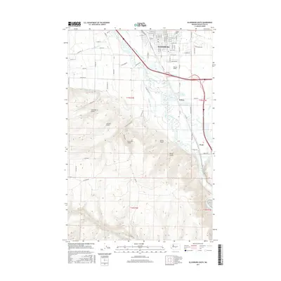
2017 Map of Ellensburg South
USGS Topo · Published 2017About this map
The Kittitas Valley landscape south of Ellensburg is defined by a sophisticated network of water management and varied topography. The Yakima River snakes through the center of the region, flanked by several critical agricultural arteries including the Clinesmith Irrigation Ditch, Tjossem Ditch, and Bull Ditch. To the west, the terrain rises sharply into the uplands, marked by deep incisions such as Shushuskin Canyon, Long Tom Canyon, and Stone Quarry Canyon. This contrast between the fertile, irrigated valley floor and the high, arid ridges highlights the region's historical reliance on engineering to support local life.
Find a feature on this map
95 named features on this map. Tap any name to fly to it.
Don’t see what you’re looking for? This feature index may not catch every label — zoom into the map to look around manually.
Map Details
Editions of this 2017 Ellensburg South Map
This is the sole edition of this map. No revisions or reprints were ever made.
Other maps of this area

1897 · Mount Stuart
USGS Topo · 1:125,000

1899 · Ellensburg
USGS Topo · 1:125,000

1901 · Ellensburg
USGS Topo · 1:125,000

1902 · Mount Stuart
USGS Topo · 1:125,000

1920 · Colockum Pass
USGS Topo · 1:125,000

1922 · Colockum Pass
USGS Topo · 1:125,000

1938 · Badger Pocket
USGS Topo · 1:48,000

1943 · Badger Pocket
USGS Topo · 1:62,500

1950 · Yakima
USGS Topo · 1:250,000

1953 · Kittitas
USGS Topo · 1:24,000