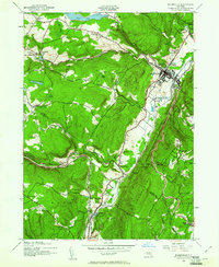
1942 Map of Ellenville
USGS Topo · Published 1961About this map
New York Ontario and Western rail lines anchor the valley floor in this 1940s landscape, tracing a path through the Shawangunk Mountains. The settlement of Ellenville serves as the primary hub, where the High Sch and Veterans Memorial Hospital are prominent landmarks. Rural life is evidenced by a network of local education centers, including the Lower Briggs Sch, Spring Glen Sch, and Sandburg Road Sch.
Find a feature on this map
39 named features on this map. Tap any name to fly to it.
Don’t see what you’re looking for? This feature index may not catch every label — zoom into the map to look around manually.
Map Details
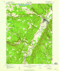
Editions of this 1942 Ellenville Map
2 editions found
Other maps of this area

1903 · Slide Mountain
USGS Topo · 1:62,500

1904 · Ellenville
USGS Topo · 1:62,500

1905 · Slide Mountain
USGS Topo · 1:62,500

1906 · Ellenville
USGS Topo · 1:62,500

1909 · Monticello
USGS Topo · 1:62,500

1910 · Neversink
USGS Topo · 1:62,500

1911 · Monticello
USGS Topo · 1:62,500

1942 · Neversink
USGS Topo · 1:62,500

1942 · Lackawack
USGS Topo · 1:24,000

1942 · Kerhonkson
USGS Topo · 1:24,000