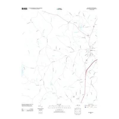
2013 Map of Ellerbe
USGS Topo · Published 2013About this map
The town of Ellerbe serves as the primary hub in this Richmond County landscape, where the local economy and geography are defined by a network of creeks and small agricultural settlements. To the west, the Pee Dee River forms a significant natural boundary, while the interior is drained by Big Mountain Cr, Naked Cr, and Little Mountain Cr. Local history is visible in the naming of roads and communities, such as Lentzton and Sandy Ridge, as well as family-named routes like Lee Thee Church Rd and Haywood Cemetery Rd. The presence of Treeces Lake and Rankin Pond indicates a reliance on managed water resources. Much of the terrain is crisscrossed by specialized roads such as Chicken Farm Rd and Nelson Farm Rd, reflecting the rural and agricultural character of the area during the early twenty-first century. Camp Dick Henning sits near the northern boundary, providing a specialized recreational or institutional landmark within this North Carolina interior.
Find a feature on this map
89 named features on this map. Tap any name to fly to it.
Don’t see what you’re looking for? This feature index may not catch every label — zoom into the map to look around manually.
Map Details
Editions of this 2013 Ellerbe Map
This is the sole edition of this map. No revisions or reprints were ever made.
Other maps of this area
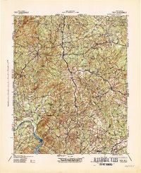
1942 · Troy
USGS Topo · 1:125,000
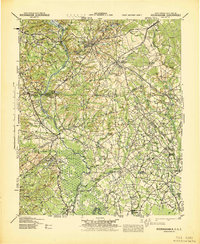
1942 · Rockingham
USGS Topo · 1:125,000
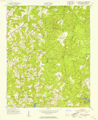
1949 · Millstone Lake
USGS Topo · 1:24,000
1949 · Hamlet
USGS Topo · 1:24,000
1949 · Hamlet
USGS Topo · 1:62,500
1949 · Jackson Springs
USGS Topo · 1:62,500
1950 · Norman
USGS Topo · 1:24,000
1953 · Florence
USGS Topo · 1:250,000
1953 · Raleigh
USGS Topo · 1:250,000
1954 · Florence
USGS Topo · 1:250,000