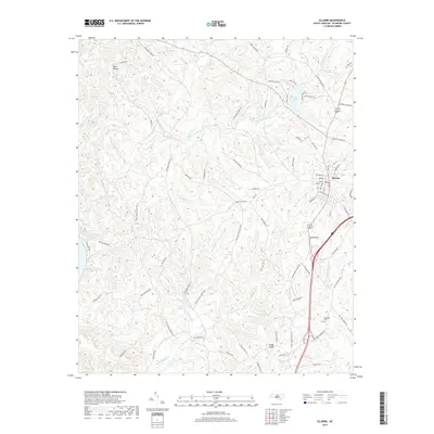
2019 Map of Ellerbe
USGS Topo · Published 2019About this map
Ellerbe serves as the primary municipal hub in this portion of Richmond County, where a dense grid of streets including Church St and Ballard St meets the highway. The surrounding landscape is defined by the drainage networks of Cartledge Cr and Naked Cr, which carve through the terrain south of Pea Ridge. Small settlements and family-named landmarks like Sandy Ridge provide local context for the rural countryside.
Find a feature on this map
72 named features on this map. Tap any name to fly to it.
Don’t see what you’re looking for? This feature index may not catch every label — zoom into the map to look around manually.
Map Details
Editions of this 2019 Ellerbe Map
This is the sole edition of this map. No revisions or reprints were ever made.
Other maps of this area

1942 · Troy
USGS Topo · 1:125,000

1942 · Rockingham
USGS Topo · 1:125,000

1949 · Millstone Lake
USGS Topo · 1:24,000

1949 · Hamlet
USGS Topo · 1:24,000

1949 · Hamlet
USGS Topo · 1:62,500

1949 · Jackson Springs
USGS Topo · 1:62,500

1950 · Norman
USGS Topo · 1:24,000

1953 · Florence
USGS Topo · 1:250,000

1953 · Raleigh
USGS Topo · 1:250,000

1954 · Florence
USGS Topo · 1:250,000