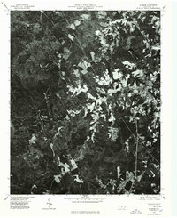
1976 Map of Ellerbe
USGS Topo · Published 1978About this map
Ellerbe serves as the primary population center in this mid-1970s orthophoto survey, displaying a dense cluster of development contrasted against the surrounding agricultural and forested land. This aerial perspective, captured in January 1976, reveals a patchwork of clearings and wooded parcels across the Sandy Ridge terrain. To the west, the winding course of the Pee Dee River defines the landscape, its dark ribbon marking the boundary of this rural North Carolina region. The imagery provides a distinct view of land-use patterns, from the organized streets of the town to the irregular agricultural plots that suggest the local farming and timber economy of the era.
Find a feature on this map
3 named features on this map. Tap any name to fly to it.
Don’t see what you’re looking for? This feature index may not catch every label — zoom into the map to look around manually.
Map Details
Editions of this 1976 Ellerbe Map
This is the sole edition of this map. No revisions or reprints were ever made.
Other maps of this area

1942 · Troy
USGS Topo · 1:125,000

1942 · Rockingham
USGS Topo · 1:125,000

1949 · Millstone Lake
USGS Topo · 1:24,000

1949 · Hamlet
USGS Topo · 1:24,000

1949 · Hamlet
USGS Topo · 1:62,500

1949 · Jackson Springs
USGS Topo · 1:62,500

1950 · Norman
USGS Topo · 1:24,000

1953 · Florence
USGS Topo · 1:250,000

1953 · Raleigh
USGS Topo · 1:250,000

1954 · Florence
USGS Topo · 1:250,000