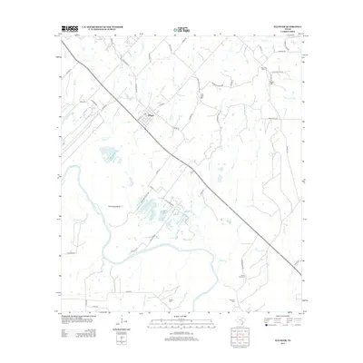
2013 Map of Ellinger
USGS Topo · Published 2013About this map
The Colorado River meanders across this corner of Fayette County, defining a landscape of deep oxbows and fertile bottomlands near Horseshoe Bend. The settlement of Ellinger serves as a central hub, where a dense grid of local roads like Munn St and FM 2503 connect the town to outlying rural communities. Significant genealogy and land-use markers are found throughout the area, including Shaws Bend Cem, Boetcher Cem, and Adkins Cem, which preserve the names of early resident families. Historical infrastructure remains visible through labels like Burnham S Ferry Xing, a nod to the era of river crossings before modern bridges. Smaller communities such as Live Oak Hill and Rocky Hill, the latter featuring the Rocky Hill School, indicate the localized pattern of education and social life in this Texas river valley during the early 21st century.
Find a feature on this map
59 named features on this map. Tap any name to fly to it.
Don’t see what you’re looking for? This feature index may not catch every label — zoom into the map to look around manually.
Map Details
Editions of this 2013 Ellinger Map
This is the sole edition of this map. No revisions or reprints were ever made.
Other maps of this area
1919 · Fayettsville
USGS Topo · 1:62,500
1919 · Schulenburg
USGS Topo · 1:62,500

1953 · Seguin
USGS Topo · 1:250,000
1956 · Glidden
USGS Topo · 1:62,500
1956 · La Grange
USGS Topo · 1:62,500
1957 · Ellinger
USGS Topo · 1:24,000
1957 · La Grange East
USGS Topo · 1:24,000
1957 · Columbus
USGS Topo · 1:24,000
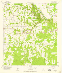
1957 · Borden
USGS Topo · 1:24,000
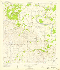
1957 · Ammannsville
USGS Topo · 1:24,000