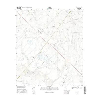
2016 Map of Ellinger
USGS Topo · Published 2016About this map
The Colorado River meanders through the heart of the landscape, defining a series of dramatic loops including Horseshoe Bend as it crosses the border between Fayette and Colorado counties. The settlement of Ellinger serves as a central hub, situated along a primary corridor where numerous local routes like FM 955 and FM 2503 converge. This area is characterized by a mix of river bottomlands and notable elevations such as Live Oak Hill and Rocky Hill, providing a diverse topography for local ranching and agricultural operations.
Find a feature on this map
71 named features on this map. Tap any name to fly to it.
Don’t see what you’re looking for? This feature index may not catch every label — zoom into the map to look around manually.
Map Details
Editions of this 2016 Ellinger Map
This is the sole edition of this map. No revisions or reprints were ever made.
Other maps of this area
1919 · Fayettsville
USGS Topo · 1:62,500
1919 · Schulenburg
USGS Topo · 1:62,500

1953 · Seguin
USGS Topo · 1:250,000
1956 · Glidden
USGS Topo · 1:62,500
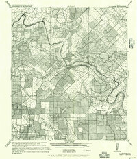
1956 · La Grange
USGS Topo · 1:62,500
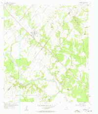
1957 · Ellinger
USGS Topo · 1:24,000
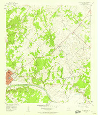
1957 · La Grange East
USGS Topo · 1:24,000
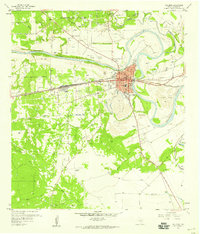
1957 · Columbus
USGS Topo · 1:24,000
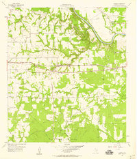
1957 · Borden
USGS Topo · 1:24,000
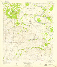
1957 · Ammannsville
USGS Topo · 1:24,000