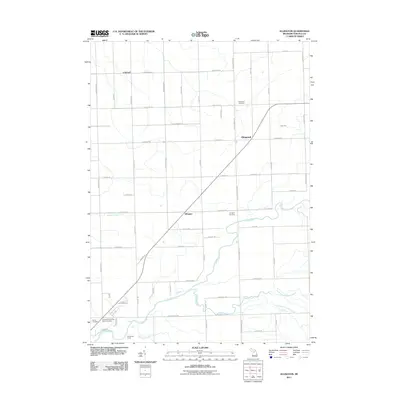
2011 Map of Ellington
USGS Topo · Published 2011About this map
The agricultural heart of Tuscola County is captured here in a period of modern stability, showing a landscape defined by its section-line roads and small rural crossroads. The settlement of Ellington sits at the center of this network, while Colwood and Elmwood anchor the northern reaches. The area is notable for its numerous burial sites, including the Tuscola County Poor Farm Cemetery in the southwest corner, providing a poignant link to the region's social history and the care of its indigent residents in earlier generations. Water features like Humes Branch and Cedar Run drain the relatively level terrain, illustrating the natural hydrology that supported the development of this farming community. The map preserves the exact placement of local landmarks such as Ellington Cemetery and Elmwood Cemetery, which remain essential touchstones for genealogical research in this part of Michigan.
Find a feature on this map
9 named features on this map. Tap any name to fly to it.
Don’t see what you’re looking for? This feature index may not catch every label — zoom into the map to look around manually.
Map Details
Editions of this 2011 Ellington Map
This is the sole edition of this map. No revisions or reprints were ever made.
Other maps of this area

1954 · Flint
USGS Topo · 1:250,000

1958 · Flint
USGS Topo · 1:250,000

1963 · East Dayton
USGS Topo · 1:24,000

1963 · Kingston
USGS Topo · 1:24,000

1963 · Cass City
USGS Topo · 1:24,000

1963 · Ellington
USGS Topo · 1:24,000

1963 · Gagetown
USGS Topo · 1:24,000

1963 · Caro
USGS Topo · 1:24,000

1963 · Owendale
USGS Topo · 1:24,000

1963 · Colling
USGS Topo · 1:24,000