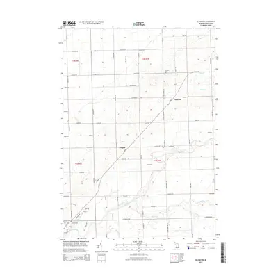
2014 Map of Ellington
USGS Topo · Published 2014About this map
The Cass River and its numerous tributaries, such as White Creek and Cedar Run, define the drainage and agricultural patterns of this Tuscola County landscape. At the intersection of local roads, small settlements like Ellington and Elmwood serve as focal points for the surrounding rural sections. The map reveals a high concentration of sites important to local genealogy and heritage, most notably the Tuscola County Poor Farm Cem located near the river in the southwest corner. Other established burial grounds, including Ellington Cem, Elmwood Cem, and Almer Cem, are distributed across the township. The land is organized by an extensive grid of section roads, including E Cass City Rd and E Deckerville Rd, which facilitate movement between the farming communities and the nearby county seat. This modern topographic study preserves the names of small drainages like Humes Br and Ross Br that have long influenced the development of these Michigan fields.
Find a feature on this map
73 named features on this map. Tap any name to fly to it.
Don’t see what you’re looking for? This feature index may not catch every label — zoom into the map to look around manually.
Map Details
Editions of this 2014 Ellington Map
This is the sole edition of this map. No revisions or reprints were ever made.
Other maps of this area

1954 · Flint
USGS Topo · 1:250,000

1958 · Flint
USGS Topo · 1:250,000

1963 · East Dayton
USGS Topo · 1:24,000

1963 · Kingston
USGS Topo · 1:24,000

1963 · Cass City
USGS Topo · 1:24,000

1963 · Ellington
USGS Topo · 1:24,000

1963 · Gagetown
USGS Topo · 1:24,000

1963 · Caro
USGS Topo · 1:24,000

1963 · Owendale
USGS Topo · 1:24,000

1963 · Colling
USGS Topo · 1:24,000