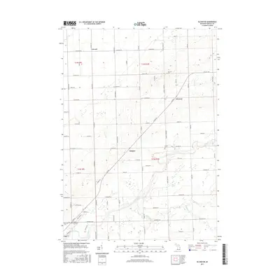
2017 Map of Ellington
USGS Topo · Published 2017About this map
The Cass River and its numerous tributaries, including White Creek and Butternut Cr, define the drainage and settlement patterns of this central Tuscola County landscape. The map captures the agricultural transition in the township of Ellington, where small crossroads communities like Colwood and Elmwood anchor the local road network. Of particular interest to genealogists and local historians is the Tuscola County Poor Farm Cem located near the southern border by Caro, providing a specific geographic link to the county's social history. The northern portion of the map is characterized by a dense grid of rural routes such as Cass City Rd and Dickerson Rd, punctuated by landmarks like Haney Marsh and the Elmwood Cem. This survey illustrates the persistent rural character of the thumb region, showing how the land remains partitioned into the sections of Townships 13 and 14 North.
Find a feature on this map
111 named features on this map. Tap any name to fly to it.
Don’t see what you’re looking for? This feature index may not catch every label — zoom into the map to look around manually.
Map Details
Editions of this 2017 Ellington Map
This is the sole edition of this map. No revisions or reprints were ever made.
Other maps of this area
1954 · Flint
USGS Topo · 1:250,000
1958 · Flint
USGS Topo · 1:250,000
1963 · East Dayton
USGS Topo · 1:24,000
1963 · Kingston
USGS Topo · 1:24,000
1963 · Cass City
USGS Topo · 1:24,000
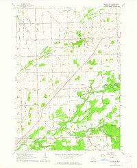
1963 · Ellington
USGS Topo · 1:24,000
1963 · Gagetown
USGS Topo · 1:24,000
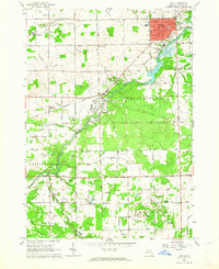
1963 · Caro
USGS Topo · 1:24,000
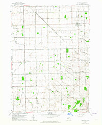
1963 · Owendale
USGS Topo · 1:24,000
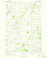
1963 · Colling
USGS Topo · 1:24,000