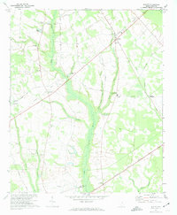
1973 Map of Elliott
USGS Topo · Published 1974About this map
The Black River winds through a landscape of wetlands and lowlands along the border of Lee and Sumter counties, where traditional farming patterns are defined by a network of rural crossroads. Settlements like English Crossroads, Wells Crossroads, and Dunlape Crossroads serve as the primary anchors for this South Carolina interior, many connected by historical routes such as the Old Railroad Grade and the MC Donald Tram Road. The presence of numerous congregational centers, including Mt Zion Ch, St Pauls Ch, and St Lukes Ch, reflects the importance of local churches as community foundations in the early 1970s.
Find a feature on this map
38 named features on this map. Tap any name to fly to it.
Don’t see what you’re looking for? This feature index may not catch every label — zoom into the map to look around manually.
Map Details
Editions of this 1973 Elliott Map
2 editions found
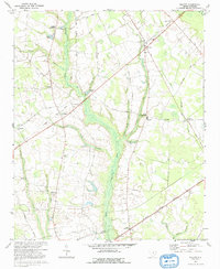
Other maps of this area

1920 · Mayesville
USGS Topo · 1:48,000

1921 · Mayesville
USGS Topo · 1:62,500

1941 · Spartanburg
USGS Topo · 1:250,000

1943 · Mayesville
USGS Topo · 1:62,500

1946 · Sumter
USGS Topo · 1:62,500

1953 · Spartanburg
USGS Topo · 1:250,000

1954 · Augusta
USGS Topo · 1:250,000

1957 · Sumter East
USGS Topo · 1:24,000

1957 · Ashwood
USGS Topo · 1:62,500

1957 · Sumter
USGS Topo · 1:62,500