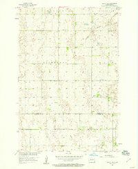
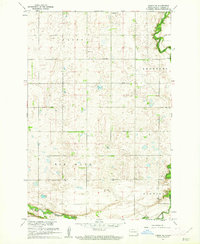
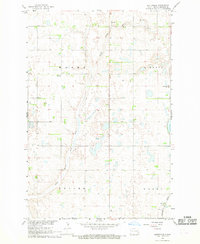
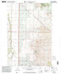
1957 Map of Elliott SE
USGS Topo · Published 1958This historical map portrays the area of Elliott SE in 1957, primarily covering Ransom County as well as portions of Sargent County. Featuring a scale of 1:24000, this map provides a highly detailed snapshot of the terrain, roads, buildings, counties, and historical landmarks in the Elliott SE region at the time. Published in 1958, it is the sole known edition of this map.
Find a feature on this map
12 named features on this map. Tap any name to fly to it.
Don’t see what you’re looking for? This feature index may not catch every label — zoom into the map to look around manually.
Map Details
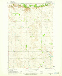
Editions of this 1957 Elliott SE Map
This is the sole edition of this map. No revisions or reprints were ever made.
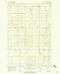
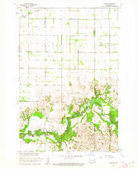
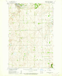
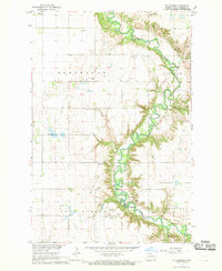
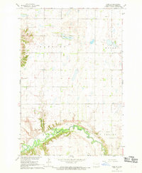
Historical Maps of Sargent County Through Time
13 maps found
1957 Elliott SE
Ransom County, ND
1957 Elliott SW
Ransom County, ND
1960 Coburn
Ransom County, ND
1960 Enderlin South
Ransom County, ND
1960 Lisbon NE
Ransom County, ND
1960 Lisbon SE
Ransom County, ND
1960 Venlo
Ransom County, ND
1962 Lisbon SW
Ransom County, ND
1967 Buttzville
Ransom County, ND
1967 Ft. Ransom
Ransom County, ND
1967 Nome SE
Ransom County, ND
1998 Coburn
Ransom County, ND
1998 Venlo
Ransom County, ND
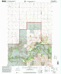
Featured Locations
- Vivian Township, ND
- Whitestone Hill Township, ND
- Alleghany Township, ND
- Bale Township, ND
- Elliott Township, ND