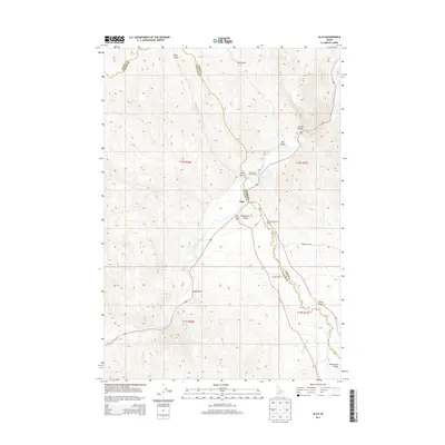
2013 Map of Ellis
USGS Topo · Published 2013About this map
The settlement of Ellis serves as the focal point for this high-desert landscape where the Salmon River meets the Pahsimeroi River along the border of Custer and Lemhi Counties. The map illustrates a ranching and conservation corridor centered on the Pahsimeroi Valley, where localized water sources such as Magpie Spring and Anderson Spring have long supported settlement. Human impact and access are clearly defined by naming conventions for the terrain, including Cronks Canyon and the notable Eagle Rock formation. Infrastructure for the local ecosystem is visible at the Pahsimeroi Rearing Ponds, while designated points like the Deer Gulch Access Area and Ellis Access Area highlight the importance of river access. The layout of rural routes such as Ennis Gulch Rd and Bursteadt Ln trace the historical development of family lands and homesteads nestled between the gulches and the major river forks.
Find a feature on this map
26 named features on this map. Tap any name to fly to it.
Don’t see what you’re looking for? This feature index may not catch every label — zoom into the map to look around manually.
Map Details
Editions of this 2013 Ellis Map
This is the sole edition of this map. No revisions or reprints were ever made.
Other maps of this area

1955 · Dubois
USGS Topo · 1:250,000
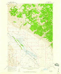
1956 · May
USGS Topo · 1:62,500
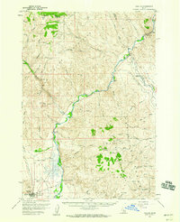
1956 · Challis
USGS Topo · 1:62,500

1957 · Challis
USGS Topo · 1:250,000

1958 · Dubois
USGS Topo · 1:250,000

1960 · Challis
USGS Topo · 1:250,000
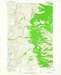
1962 · Allison Creek
USGS Topo · 1:24,000

1963 · Challis
USGS Topo · 1:250,000
1963 · Hat Creek
USGS Topo · 1:24,000
1963 · Wards Butte
USGS Topo · 1:24,000