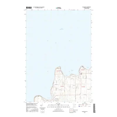
2016 Map of Ellison Bay
USGS Topo · Published 2016About this map
Deathdoor Bluff and Table Bluff anchor the northern tip of the Door Peninsula, overlooking the meeting of Lake Michigan and Green Bay. This 2016 survey highlights the coastal settlements of Gills Rock and Ellison Bay, which have long served as vital maritime gateways. The network of local roads, such as Garrett Bay Rd and Mink River Rd, traces the inland geography of Liberty Grove, while protected inlets like Hedgehog Harbor and Garret Bay provide natural refuge from the open lake. The map illustrates the contemporary layout of these historic fishing and ferry communities, showing the residential growth along Woodland Dr and Europe Lake Rd that contrasts with the steep, wooded escarpments of the shoreline.
Find a feature on this map
45 named features on this map. Tap any name to fly to it.
Don’t see what you’re looking for? This feature index may not catch every label — zoom into the map to look around manually.
Map Details
Editions of this 2016 Ellison Bay Map
This is the sole edition of this map. No revisions or reprints were ever made.
Other maps of this area
1954 · Escanaba
USGS Topo · 1:250,000
1957 · Escanaba
USGS Topo · 1:250,000
1958 · Escanaba
USGS Topo · 1:250,000
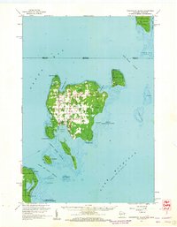
1960 · Washington Island
USGS Topo · 1:62,500
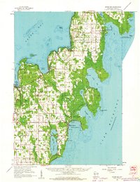
1960 · Sister Bay
USGS Topo · 1:62,500
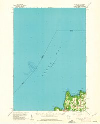
1960 · Ellison Bay
USGS Topo · 1:62,500
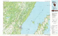
1981 · Marinette
USGS Topo · 1:100,000
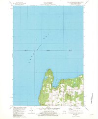
1982 · Washington Island NW
USGS Topo · 1:24,000
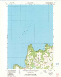
1982 · Ellison Bay
USGS Topo · 1:24,000
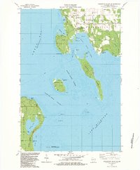
1982 · Washington Island SW
USGS Topo · 1:24,000