
1960 Map of Ellison Bay
USGS Topo · Published 1962About this map
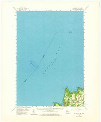
Deathdoor Bluff and the northern tip of the Door Peninsula dominate this 1960 coastal survey, showing the intricate shoreline where the waters of Green Bay meet the treacherous passages of the Lake Michigan threshold. The map documents the quiet maritime character of Gills Rock and Ellison Bay during a period of steady mid-century development. Inland, the town of Liberty Grove is marked by rural landmarks like Bethel Ch and localized industrial activity including a Quarry and Gravel Pit.
Find a feature on this map
18 named features on this map. Tap any name to fly to it.
Don’t see what you’re looking for? This feature index may not catch every label — zoom into the map to look around manually.
Map Details
Editions of this 1960 Ellison Bay Map
2 editions found
Other maps of this area

1954 · Escanaba
USGS Topo · 1:250,000

1957 · Escanaba
USGS Topo · 1:250,000

1958 · Escanaba
USGS Topo · 1:250,000

1958 · Escanaba
USGS Topo · 1:62,500

1958 · Peninsula Point
USGS Topo · 1:62,500

1960 · Washington Island
USGS Topo · 1:62,500

1960 · Sister Bay
USGS Topo · 1:62,500

1961 · Chambers Island
USGS Topo · 1:62,500

1963 · Bark River
USGS Topo · 1:62,500

1963 · Cedar River
USGS Topo · 1:62,500